
Maps & Aerial Photographs
Please click on the images to view full size versions
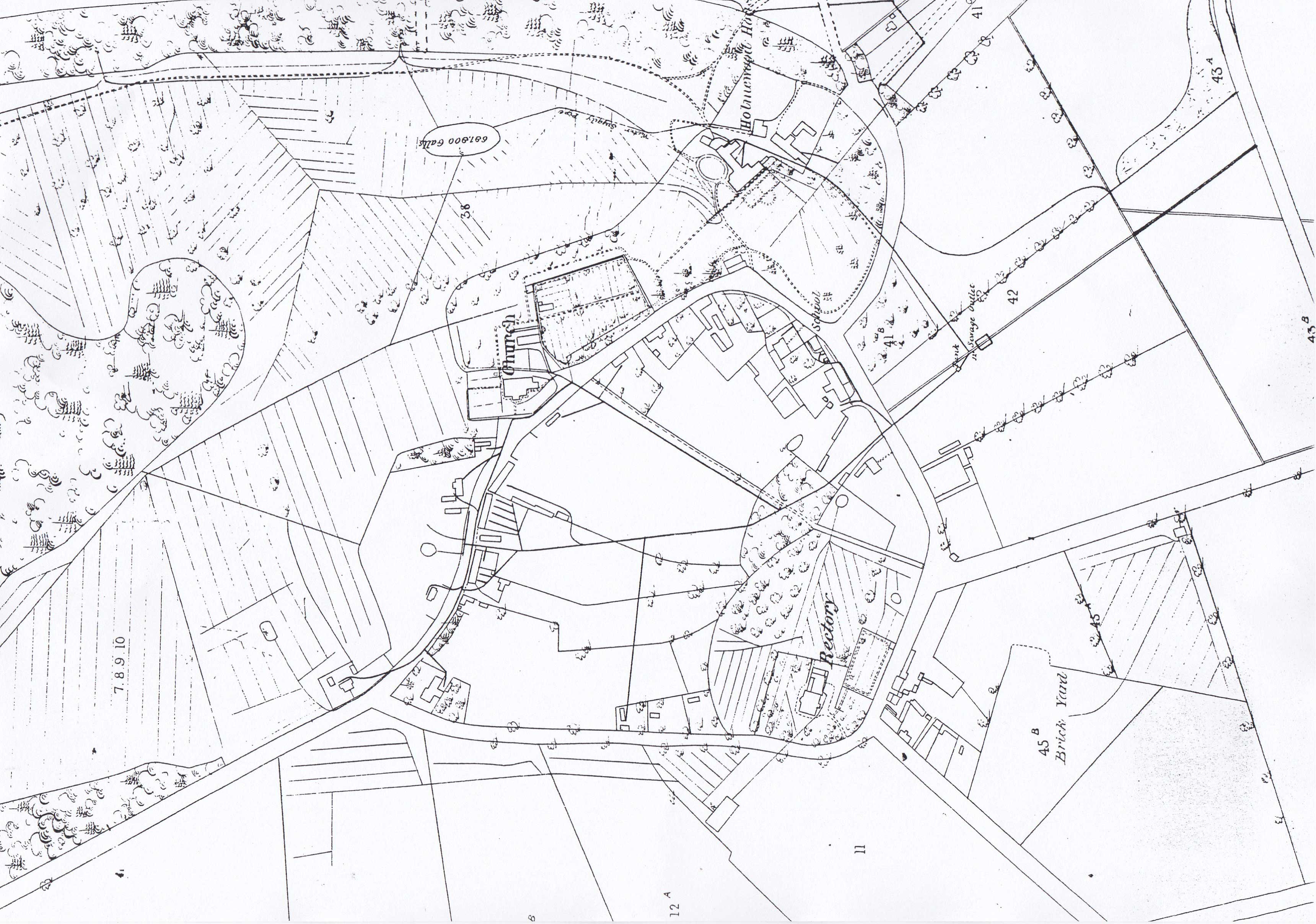
1866 Drainage Map of Holme
The 1866 map was drawn to show the site of the drains in the village. This map shows the extent of the original village and its circular shape.

1887 Holme
The 1887 map shows how the village had extended towards the railway.
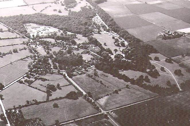
Aerial view Holme 1944
1944 Aerial View showing the site of the US Office of Strategic Services Area ‘H’.